Результат поиска по запросу: "shaded20relief20map"
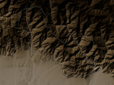
Samtse, district of Bhutan. Elevation map colored in sepia tones with lakes and rivers
favorite
Коллекция по умолчанию
Коллекция по умолчанию
Создать новую

The number on the iron armor.Painted with white paint on a green background.
favorite
Коллекция по умолчанию
Коллекция по умолчанию
Создать новую
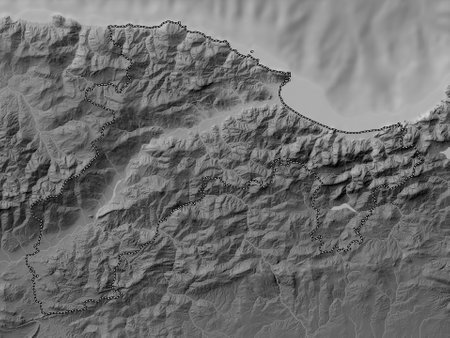
Bejaia, province of Algeria. Grayscale elevation map with lakes and rivers
favorite
Коллекция по умолчанию
Коллекция по умолчанию
Создать новую
a woodcut mountain landscape with relief texture, featuring an ambient occlusion style. this multilayered abstraction showcases a realistic hyper-detailed rendering, with a combination of dark white and light gray tones. the macro perspectives capture the essence of the scene, reminiscent of the works of tony cragg. the richly detailed backgrounds add depth and complexity to the composition. ai generated
favorite
Коллекция по умолчанию
Коллекция по умолчанию
Создать новую
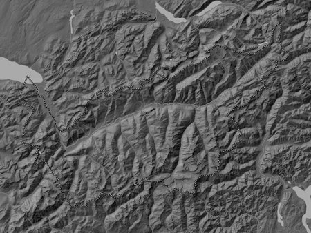
Valais, canton of Switzerland. Bilevel elevation map with lakes and rivers
favorite
Коллекция по умолчанию
Коллекция по умолчанию
Создать новую

Berat, county of Albania. Elevation map colored in sepia tones with lakes and rivers
favorite
Коллекция по умолчанию
Коллекция по умолчанию
Создать новую

Koroska, statistical region of Slovenia. Elevation map colored in wiki style with lakes and rivers
favorite
Коллекция по умолчанию
Коллекция по умолчанию
Создать новую
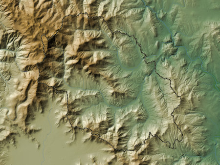
Caska, municipality of Macedonia. Colored elevation map with lakes and rivers
favorite
Коллекция по умолчанию
Коллекция по умолчанию
Создать новую
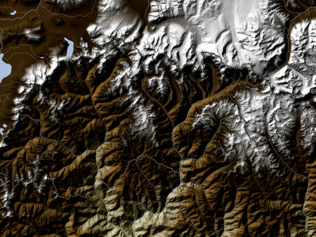
Gasa, district of Bhutan. Elevation map colored in wiki style with lakes and rivers
favorite
Коллекция по умолчанию
Коллекция по умолчанию
Создать новую
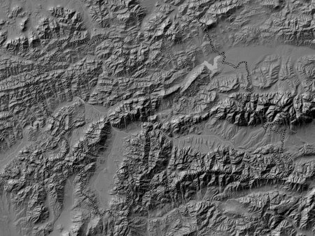
Zilinsky, region of Slovakia. Bilevel elevation map with lakes and rivers
favorite
Коллекция по умолчанию
Коллекция по умолчанию
Создать новую

A map depicting a mountain range with a serene lake in the middle. This image can be used for travel brochures, adventure websites, or educational materials about geography and topography.
favorite
Коллекция по умолчанию
Коллекция по умолчанию
Создать новую
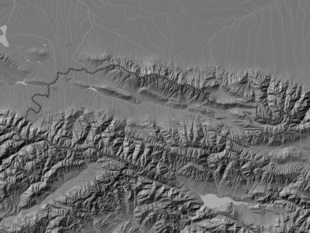
Talas, province of Kyrgyzstan. Bilevel elevation map with lakes and rivers
favorite
Коллекция по умолчанию
Коллекция по умолчанию
Создать новую
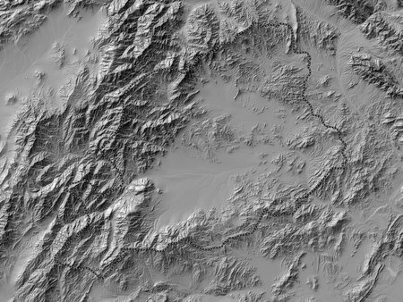
Khost, province of Afghanistan. Bilevel elevation map with lakes and rivers
favorite
Коллекция по умолчанию
Коллекция по умолчанию
Создать новую
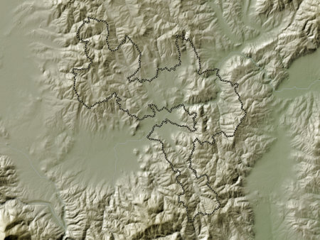
Gjilan, municipality of Kosovo. Elevation map colored in wiki style with lakes and rivers
favorite
Коллекция по умолчанию
Коллекция по умолчанию
Создать новую
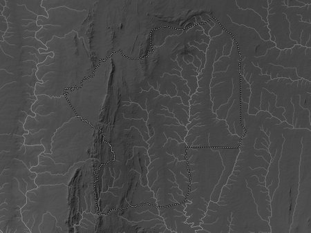
Centrale, region of Togo. Grayscale elevation map with lakes and rivers
favorite
Коллекция по умолчанию
Коллекция по умолчанию
Создать новую
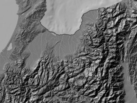
Toyama, prefecture of Japan. Bilevel elevation map with lakes and rivers
favorite
Коллекция по умолчанию
Коллекция по умолчанию
Создать новую
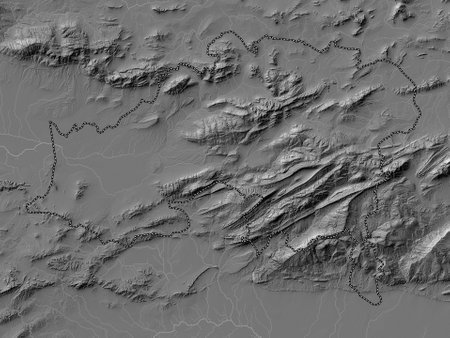
Batna, province of Algeria. Bilevel elevation map with lakes and rivers
favorite
Коллекция по умолчанию
Коллекция по умолчанию
Создать новую
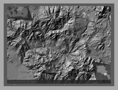
Vayots Dzor, province of Armenia. Bilevel elevation map with lakes and rivers. Locations of major cities of the region. Corner auxiliary location maps
favorite
Коллекция по умолчанию
Коллекция по умолчанию
Создать новую
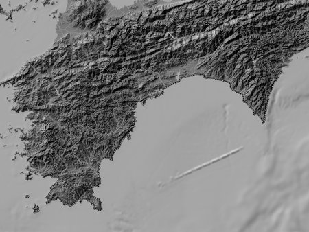
Kochi, prefecture of Japan. Bilevel elevation map with lakes and rivers
favorite
Коллекция по умолчанию
Коллекция по умолчанию
Создать новую
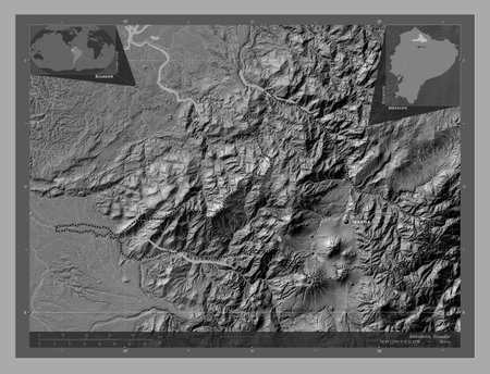
Imbabura, province of Ecuador. Bilevel elevation map with lakes and rivers. Locations and names of major cities of the region. Corner auxiliary location maps
favorite
Коллекция по умолчанию
Коллекция по умолчанию
Создать новую

Saint Mary, parish of Jamaica. Elevation map colored in sepia tones with lakes and rivers
favorite
Коллекция по умолчанию
Коллекция по умолчанию
Создать новую
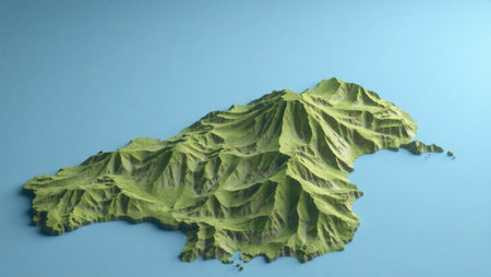
A 3D render of a map of the island of Madeira
favorite
Коллекция по умолчанию
Коллекция по умолчанию
Создать новую
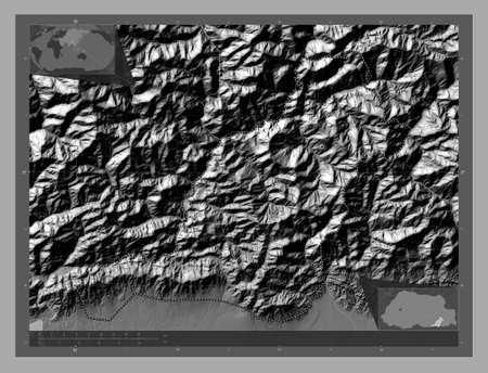
Pemagatshel, district of Bhutan. Bilevel elevation map with lakes and rivers. Locations of major cities of the region. Corner auxiliary location maps
favorite
Коллекция по умолчанию
Коллекция по умолчанию
Создать новую
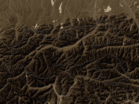
Tirol, state of Austria. Elevation map colored in sepia tones with lakes and rivers
favorite
Коллекция по умолчанию
Коллекция по умолчанию
Создать новую
Drawings of ice on green glass. Background
favorite
Коллекция по умолчанию
Коллекция по умолчанию
Создать новую
Technological industrial abstract background processor web virtual
favorite
Коллекция по умолчанию
Коллекция по умолчанию
Создать новую

Baghlan, province of Afghanistan. Colored elevation map with lakes and rivers
favorite
Коллекция по умолчанию
Коллекция по умолчанию
Создать новую
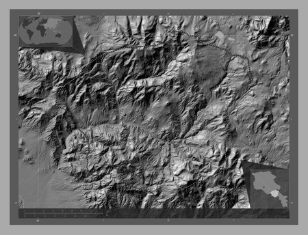
Vayots Dzor, province of Armenia. Bilevel elevation map with lakes and rivers. Corner auxiliary location maps
favorite
Коллекция по умолчанию
Коллекция по умолчанию
Создать новую
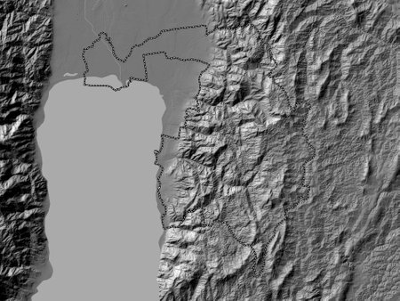
Bujumbura Rural, province of Burundi. Bilevel elevation map with lakes and rivers
favorite
Коллекция по умолчанию
Коллекция по умолчанию
Создать новую
Fractal abstract background. Imitation of a marble texture
favorite
Коллекция по умолчанию
Коллекция по умолчанию
Создать новую
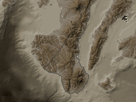
Negros Oriental, province of Philippines. Elevation map colored in sepia tones with lakes and rivers
favorite
Коллекция по умолчанию
Коллекция по умолчанию
Создать новую
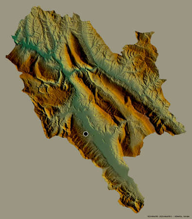
Shape of Gjirokastër, county of Albania, with its capital isolated on a solid color background. Topographic relief map. 3D rendering
favorite
Коллекция по умолчанию
Коллекция по умолчанию
Создать новую
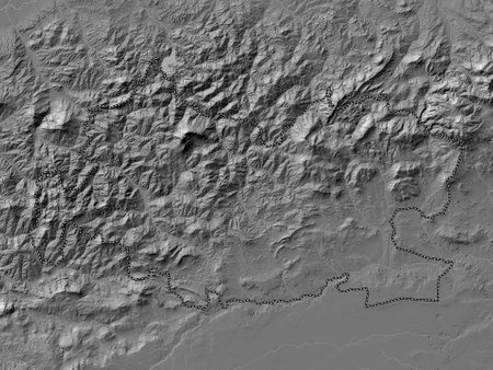
Tissemsilt, province of Algeria. Bilevel elevation map with lakes and rivers
favorite
Коллекция по умолчанию
Коллекция по умолчанию
Создать новую
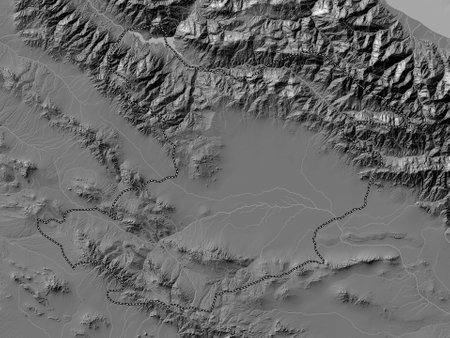
Qazvin, province of Iran. Bilevel elevation map with lakes and rivers
favorite
Коллекция по умолчанию
Коллекция по умолчанию
Создать новую
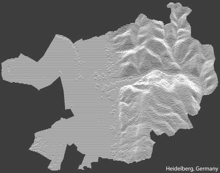
Topographic negative relief map of the city of HEIDELBERG, GERMANY with white contour lines on dark gray background
favorite
Коллекция по умолчанию
Коллекция по умолчанию
Создать новую
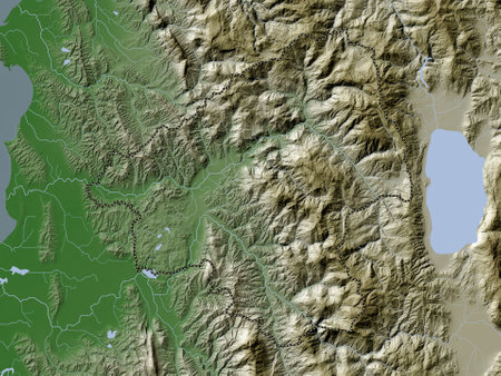
Elbasan, county of Albania. Elevation map colored in wiki style with lakes and rivers
favorite
Коллекция по умолчанию
Коллекция по умолчанию
Создать новую
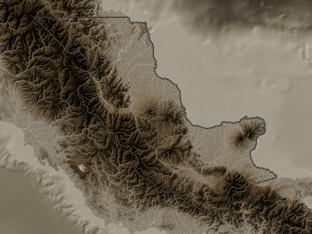
Oro, province of Papua New Guinea. Elevation map colored in sepia tones with lakes and rivers
favorite
Коллекция по умолчанию
Коллекция по умолчанию
Создать новую
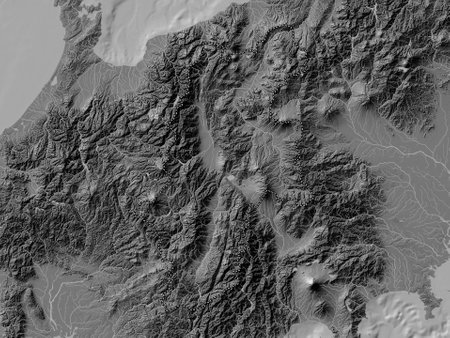
Nagano, prefecture of Japan. Bilevel elevation map with lakes and rivers
favorite
Коллекция по умолчанию
Коллекция по умолчанию
Создать новую
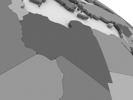
Map of Libya on grey model of Earth. 3D illustration
favorite
Коллекция по умолчанию
Коллекция по умолчанию
Создать новую
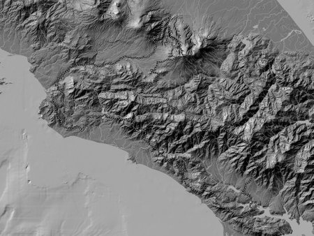
San Jose, province of Costa Rica. Bilevel elevation map with lakes and rivers
favorite
Коллекция по умолчанию
Коллекция по умолчанию
Создать новую
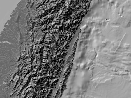
Hualien, county of Taiwan. Bilevel elevation map with lakes and rivers
favorite
Коллекция по умолчанию
Коллекция по умолчанию
Создать новую
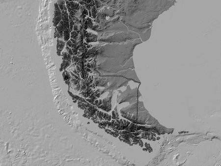
Magallanes y Antartica Chilena, region of Chile. Bilevel elevation map with lakes and rivers
favorite
Коллекция по умолчанию
Коллекция по умолчанию
Создать новую
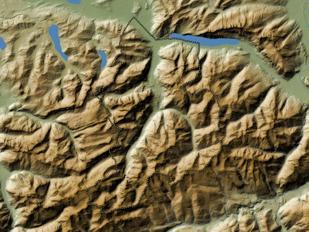
Glarus, canton of Switzerland. Colored elevation map with lakes and rivers
favorite
Коллекция по умолчанию
Коллекция по умолчанию
Создать новую
Grid Background. Mosaic. 3d Vector Illustration. Abstract Texture.
favorite
Коллекция по умолчанию
Коллекция по умолчанию
Создать новую
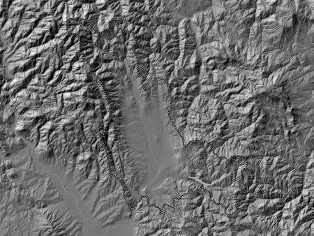
Podujeva, municipality of Kosovo. Bilevel elevation map with lakes and rivers
favorite
Коллекция по умолчанию
Коллекция по умолчанию
Создать новую
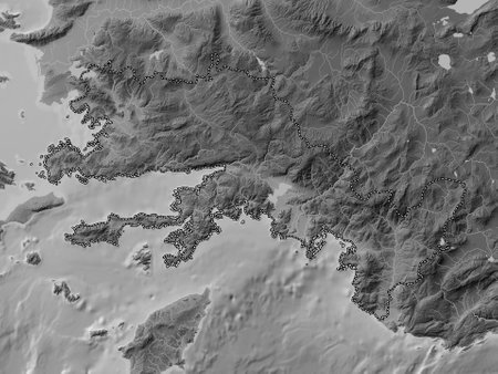
Mugla, province of Turkiye. Grayscale elevation map with lakes and rivers
favorite
Коллекция по умолчанию
Коллекция по умолчанию
Создать новую
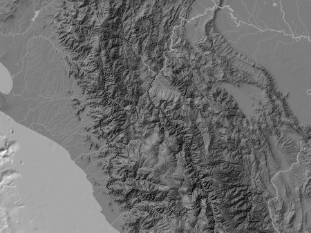
Cajamarca, region of Peru. Bilevel elevation map with lakes and rivers
favorite
Коллекция по умолчанию
Коллекция по умолчанию
Создать новую
Abstract landscape background. Mosaic. 3d technology vector illustration. Can be used for banner, flyer, book cover and poster.
favorite
Коллекция по умолчанию
Коллекция по умолчанию
Создать новую

World map, created with Generative AI technology.
favorite
Коллекция по умолчанию
Коллекция по умолчанию
Создать новую
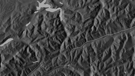
Uri, canton of Switzerland. Grayscaled map with lakes and rivers. Shape outlined against its country area. 3D rendering
favorite
Коллекция по умолчанию
Коллекция по умолчанию
Создать новую
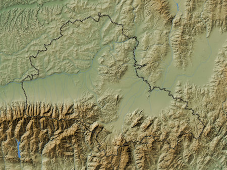
Brasov, county of Romania. Colored elevation map with lakes and rivers
favorite
Коллекция по умолчанию
Коллекция по умолчанию
Создать новую
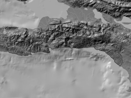
Sud-Est, department of Haiti. Bilevel elevation map with lakes and rivers
favorite
Коллекция по умолчанию
Коллекция по умолчанию
Создать новую

3D image of a map of South America, shot at an angle and focused on the continent
favorite
Коллекция по умолчанию
Коллекция по умолчанию
Создать новую

Apayao, province of Philippines. Bilevel elevation map with lakes and rivers
favorite
Коллекция по умолчанию
Коллекция по умолчанию
Создать новую
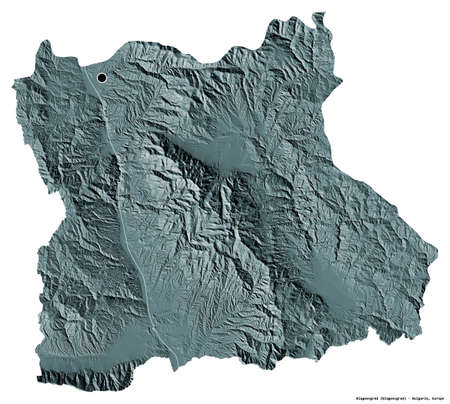
Shape of Blagoevgrad, province of Bulgaria, with its capital isolated on white background. Colored elevation map. 3D rendering
favorite
Коллекция по умолчанию
Коллекция по умолчанию
Создать новую
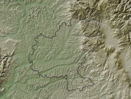
Mures, county of Romania. Elevation map colored in wiki style with lakes and rivers
favorite
Коллекция по умолчанию
Коллекция по умолчанию
Создать новую
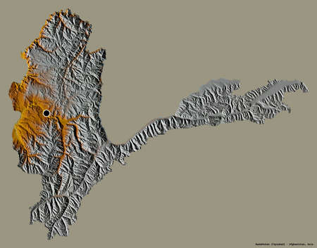
Shape of Badakhshan, province of Afghanistan, with its capital isolated on a solid color background. Topographic relief map. 3D rendering
favorite
Коллекция по умолчанию
Коллекция по умолчанию
Создать новую
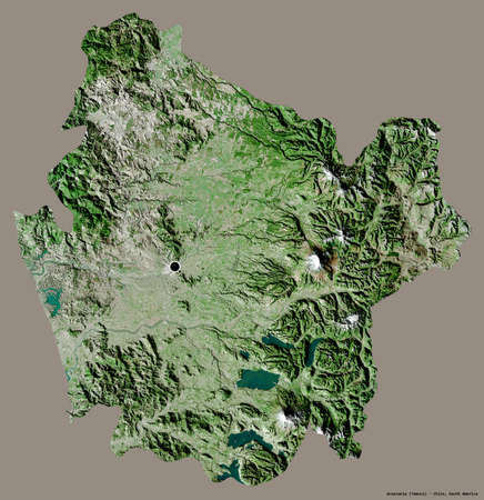
Shape of AraucanÃa, region of Chile, with its capital isolated on a solid color background. Satellite imagery. 3D rendering
favorite
Коллекция по умолчанию
Коллекция по умолчанию
Создать новую
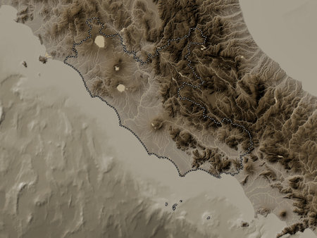
Lazio, region of Italy. Elevation map colored in sepia tones with lakes and rivers
favorite
Коллекция по умолчанию
Коллекция по умолчанию
Создать новую
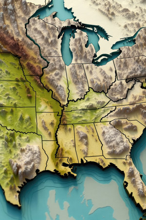
3d topographic map of the united states, created with generative ai
favorite
Коллекция по умолчанию
Коллекция по умолчанию
Создать новую
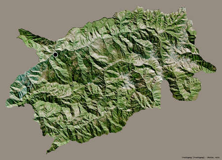
Shape of Trashigang, district of Bhutan, with its capital isolated on a solid color background. Satellite imagery. 3D rendering
favorite
Коллекция по умолчанию
Коллекция по умолчанию
Создать новую
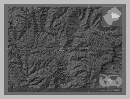
Thaba-Tseka, district of Lesotho. Grayscale elevation map with lakes and rivers. Locations and names of major cities of the region. Corner auxiliary location maps
favorite
Коллекция по умолчанию
Коллекция по умолчанию
Создать новую
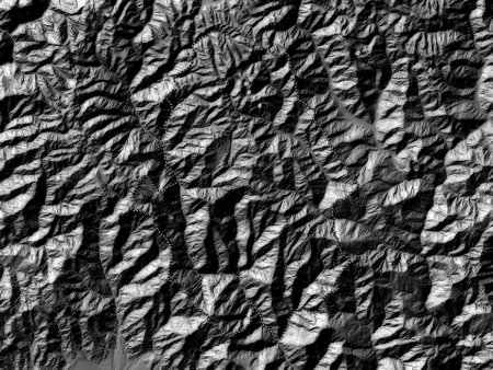
Haa, district of Bhutan. Bilevel elevation map with lakes and rivers
favorite
Коллекция по умолчанию
Коллекция по умолчанию
Создать новую
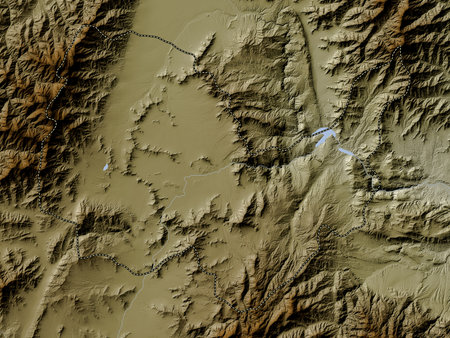
Kabul, province of Afghanistan. Elevation map colored in wiki style with lakes and rivers
favorite
Коллекция по умолчанию
Коллекция по умолчанию
Создать новую
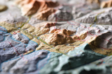
Close up of a topographic map revealing intricate terrain features and notable landmarks
favorite
Коллекция по умолчанию
Коллекция по умолчанию
Создать новую
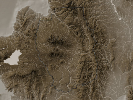
Bukidnon, province of Philippines. Elevation map colored in sepia tones with lakes and rivers
favorite
Коллекция по умолчанию
Коллекция по умолчанию
Создать новую
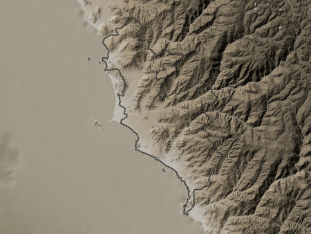
Lima Province, province of Peru. Elevation map colored in sepia tones with lakes and rivers
favorite
Коллекция по умолчанию
Коллекция по умолчанию
Создать новую
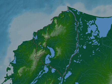
Atlantico, department of Colombia. Colored elevation map with lakes and rivers
favorite
Коллекция по умолчанию
Коллекция по умолчанию
Создать новую
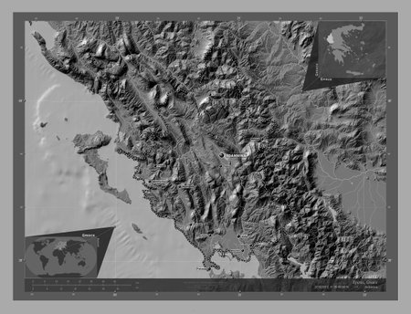
Epirus, decentralized administration of Greece. Bilevel elevation map with lakes and rivers. Locations and names of major cities of the region. Corner auxiliary location maps
favorite
Коллекция по умолчанию
Коллекция по умолчанию
Создать новую

Fragment of colored graffiti painted on a concrete wall. Texture. Abstract background for design.
favorite
Коллекция по умолчанию
Коллекция по умолчанию
Создать новую
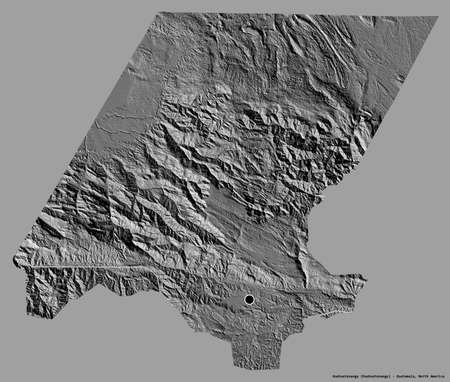
Shape of Huehuetenango, department of Guatemala, with its capital isolated on a solid color background. Bilevel elevation map. 3D rendering
favorite
Коллекция по умолчанию
Коллекция по умолчанию
Создать новую
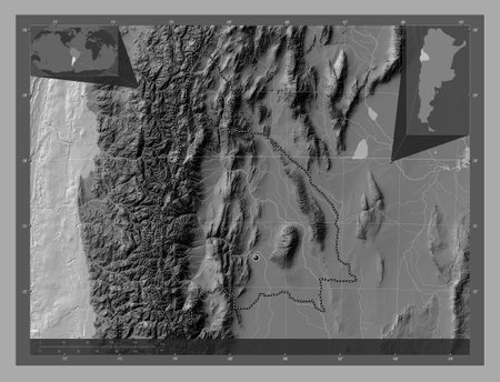
San Juan, province of Argentina. Bilevel elevation map with lakes and rivers. Corner auxiliary location maps
favorite
Коллекция по умолчанию
Коллекция по умолчанию
Создать новую
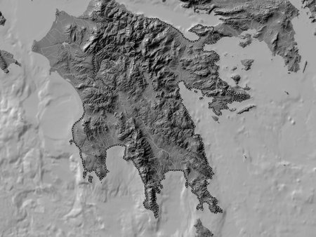
Peloponnese, decentralized administration of Greece. Bilevel elevation map with lakes and rivers
favorite
Коллекция по умолчанию
Коллекция по умолчанию
Создать новую
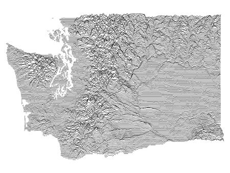
Topographic Relief Peaks and Valleys Map of US Federal State of Washington
favorite
Коллекция по умолчанию
Коллекция по умолчанию
Создать новую
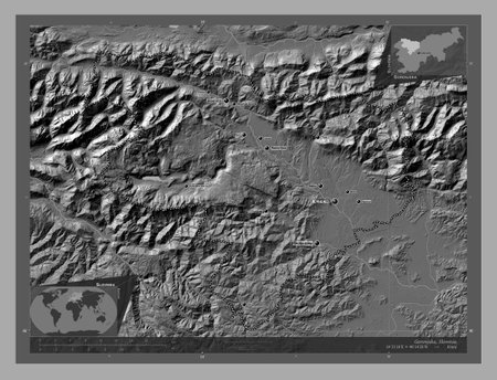
Gorenjska, statistical region of Slovenia. Bilevel elevation map with lakes and rivers. Locations and names of major cities of the region. Corner auxiliary location maps
favorite
Коллекция по умолчанию
Коллекция по умолчанию
Создать новую
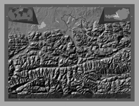
Salzburg, state of Austria. Bilevel elevation map with lakes and rivers. Corner auxiliary location maps
favorite
Коллекция по умолчанию
Коллекция по умолчанию
Создать новую
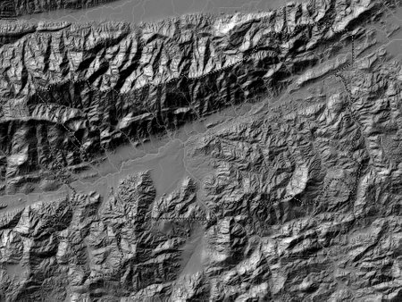
Zacapa, department of Guatemala. Bilevel elevation map with lakes and rivers
favorite
Коллекция по умолчанию
Коллекция по умолчанию
Создать новую
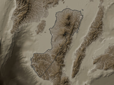
Negros Occidental, province of Philippines. Elevation map colored in sepia tones with lakes and rivers
favorite
Коллекция по умолчанию
Коллекция по умолчанию
Создать новую
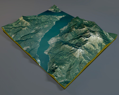
Grigna mountain, satellite view, Lecco lake, aerial view, Alps, Italy.
favorite
Коллекция по умолчанию
Коллекция по умолчанию
Создать новую
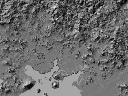
Valle, department of Honduras. Bilevel elevation map with lakes and rivers
favorite
Коллекция по умолчанию
Коллекция по умолчанию
Создать новую
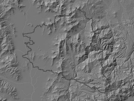
Prilep, municipality of Macedonia. Bilevel elevation map with lakes and rivers
favorite
Коллекция по умолчанию
Коллекция по умолчанию
Создать новую
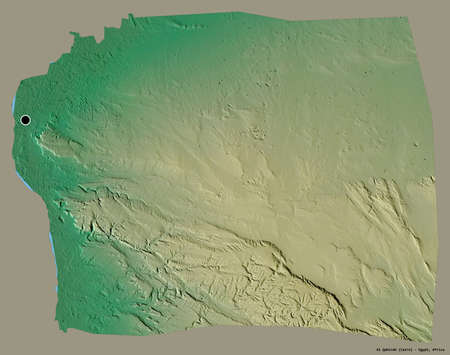
Shape of Al Qahirah, governorate of Egypt, with its capital isolated on a solid color background. Topographic relief map. 3D rendering
favorite
Коллекция по умолчанию
Коллекция по умолчанию
Создать новую

Toplicki, district of Serbia. Elevation map colored in wiki style with lakes and rivers
favorite
Коллекция по умолчанию
Коллекция по умолчанию
Создать новую
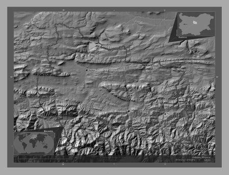
Gabrovo, province of Bulgaria. Bilevel elevation map with lakes and rivers. Locations and names of major cities of the region. Corner auxiliary location maps
favorite
Коллекция по умолчанию
Коллекция по умолчанию
Создать новую
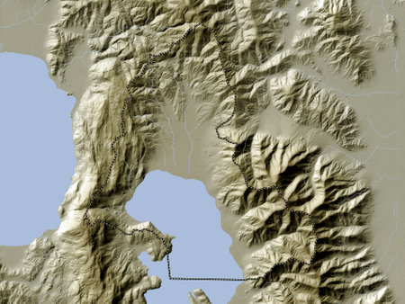
Resen, municipality of Macedonia. Elevation map colored in wiki style with lakes and rivers
favorite
Коллекция по умолчанию
Коллекция по умолчанию
Создать новую
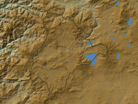
Ardahan, province of Turkiye. Colored elevation map with lakes and rivers
favorite
Коллекция по умолчанию
Коллекция по умолчанию
Создать новую

Shape of BÃo-BÃo, region of Chile, with its capital isolated on a solid color background. Satellite imagery. 3D rendering
favorite
Коллекция по умолчанию
Коллекция по умолчанию
Создать новую
Abstract landscape background. 3d technology vector illustration. Can be used for banner, flyer, book cover, poster, web banners.
favorite
Коллекция по умолчанию
Коллекция по умолчанию
Создать новую
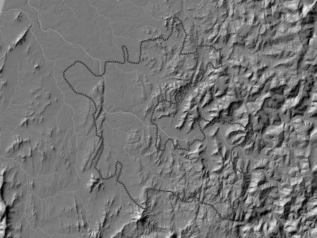
Dadra and Nagar Haveli, union territory of India. Bilevel elevation map with lakes and rivers
favorite
Коллекция по умолчанию
Коллекция по умолчанию
Создать новую
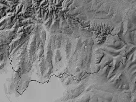
South Lakeland, non metropolitan district of England - Great Britain. Grayscale elevation map with lakes and rivers
favorite
Коллекция по умолчанию
Коллекция по умолчанию
Создать новую
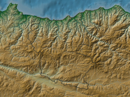
Giresun, province of Turkiye. Colored elevation map with lakes and rivers
favorite
Коллекция по умолчанию
Коллекция по умолчанию
Создать новую
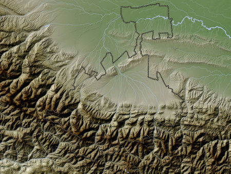
North Ossetia, republic of Russia. Elevation map colored in wiki style with lakes and rivers
favorite
Коллекция по умолчанию
Коллекция по умолчанию
Создать новую
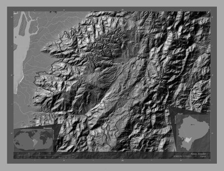
Azuay, province of Ecuador. Bilevel elevation map with lakes and rivers. Locations and names of major cities of the region. Corner auxiliary location maps
favorite
Коллекция по умолчанию
Коллекция по умолчанию
Создать новую
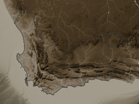
Western Cape, province of South Africa. Elevation map colored in sepia tones with lakes and rivers
favorite
Коллекция по умолчанию
Коллекция по умолчанию
Создать новую
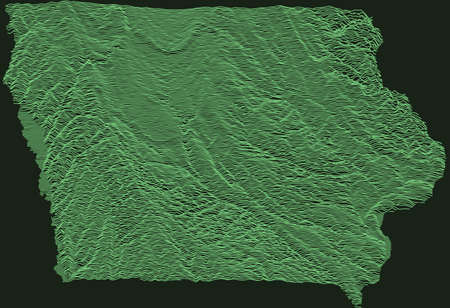
Topographic military radar tactical map of the Federal State of Iowa, USA with emerald green contour lines on dark green background
favorite
Коллекция по умолчанию
Коллекция по умолчанию
Создать новую
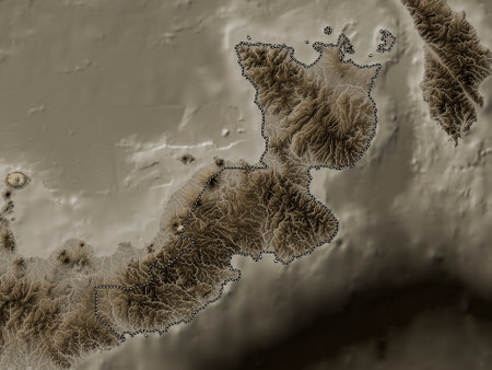
East New Britain, province of Papua New Guinea. Elevation map colored in sepia tones with lakes and rivers
favorite
Коллекция по умолчанию
Коллекция по умолчанию
Создать новую
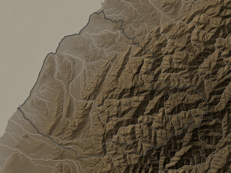
Miaoli, county of Taiwan. Elevation map colored in sepia tones with lakes and rivers
favorite
Коллекция по умолчанию
Коллекция по умолчанию
Создать новую
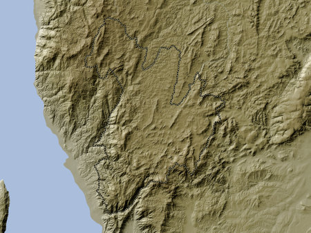
Bururi, province of Burundi. Elevation map colored in wiki style with lakes and rivers
favorite
Коллекция по умолчанию
Коллекция по умолчанию
Создать новую
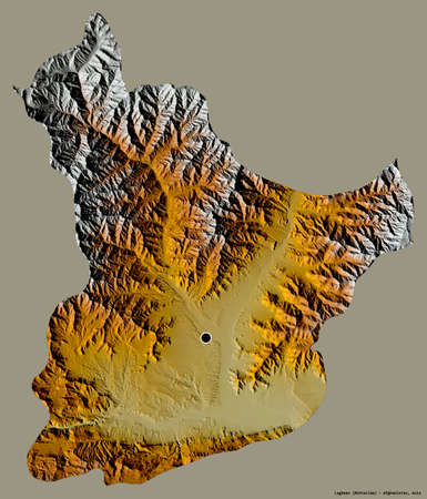
Shape of Laghman, province of Afghanistan, with its capital isolated on a solid color background. Topographic relief map. 3D rendering
favorite
Коллекция по умолчанию
Коллекция по умолчанию
Создать новую
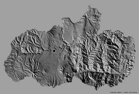
Shape of Tungurahua, province of Ecuador, with its capital isolated on a solid color background. Bilevel elevation map. 3D rendering
favorite
Коллекция по умолчанию
Коллекция по умолчанию
Создать новую
Поддержка
Copyright © Legion-Media.


